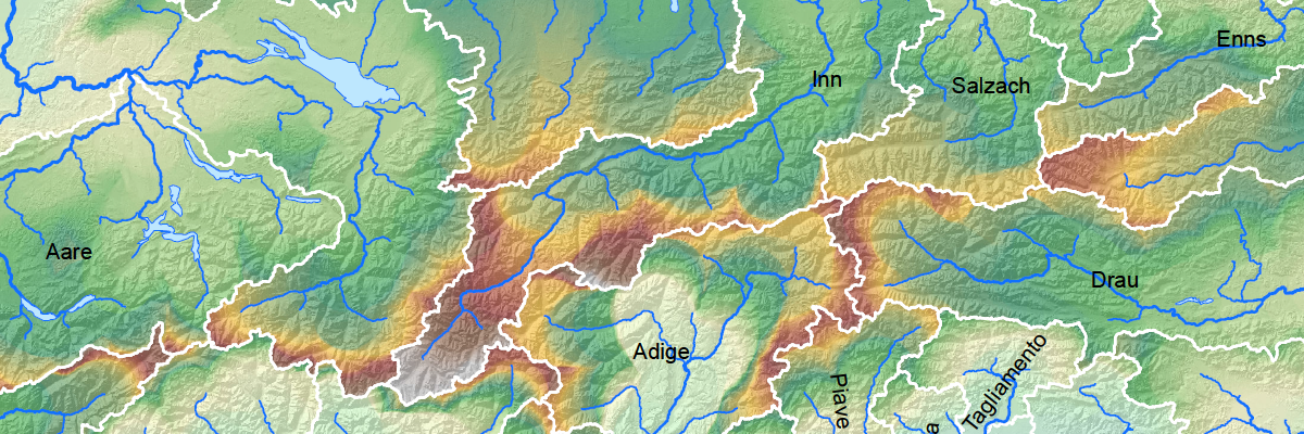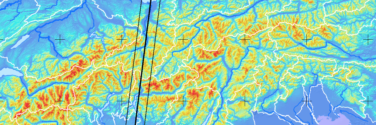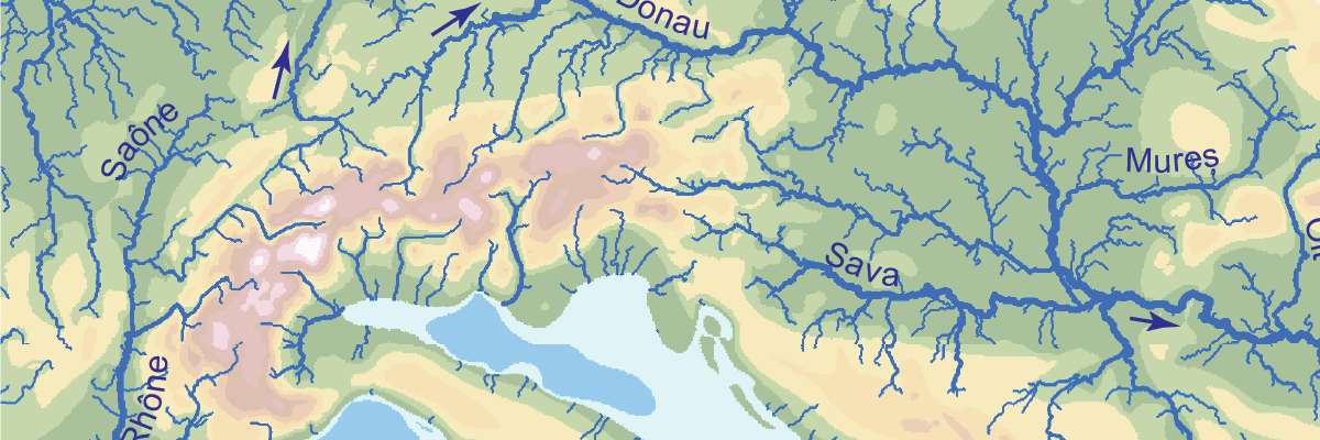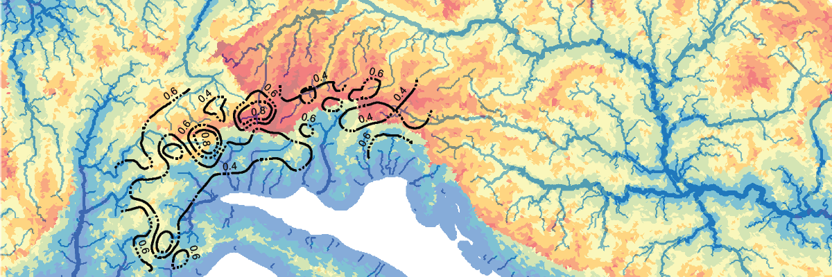


The provided files can be used to recalculate the models. They can also serve as a base for further research.
The codes to calculate the models can be found in the dissertation (see References).
All Data are ArcGIS files. Map projection is WGS 84 UTM 32N in a fixed northern Europe reference frame. For an absolute position move northern Europe accordingly.
Sascha Winterberg, Dr. sc. ETH Zürich
Dolderstrasse 34, 8032 Zürich
saschaw@ethz.ch